
Ankrom Moisan’s Maps
Maps are an important tool for companies to communicate with clients and communities. While going through a brand refresh at Ankrom Moisan, I identified the need for branded maps to use throughout collateral. Through thorough research and testing, I landed on the powerful mapping platform, Mapbox. It has highly customizable maps and the ability to display data, plus it has capabilities for both print and digital platforms. Keep scrolling to see just a few of the styles I’ve developed.
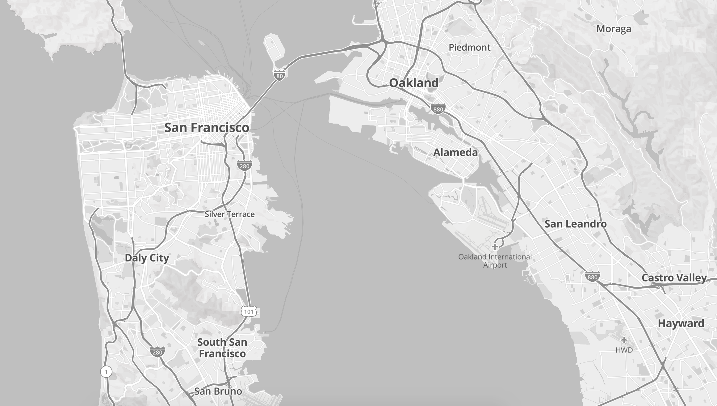
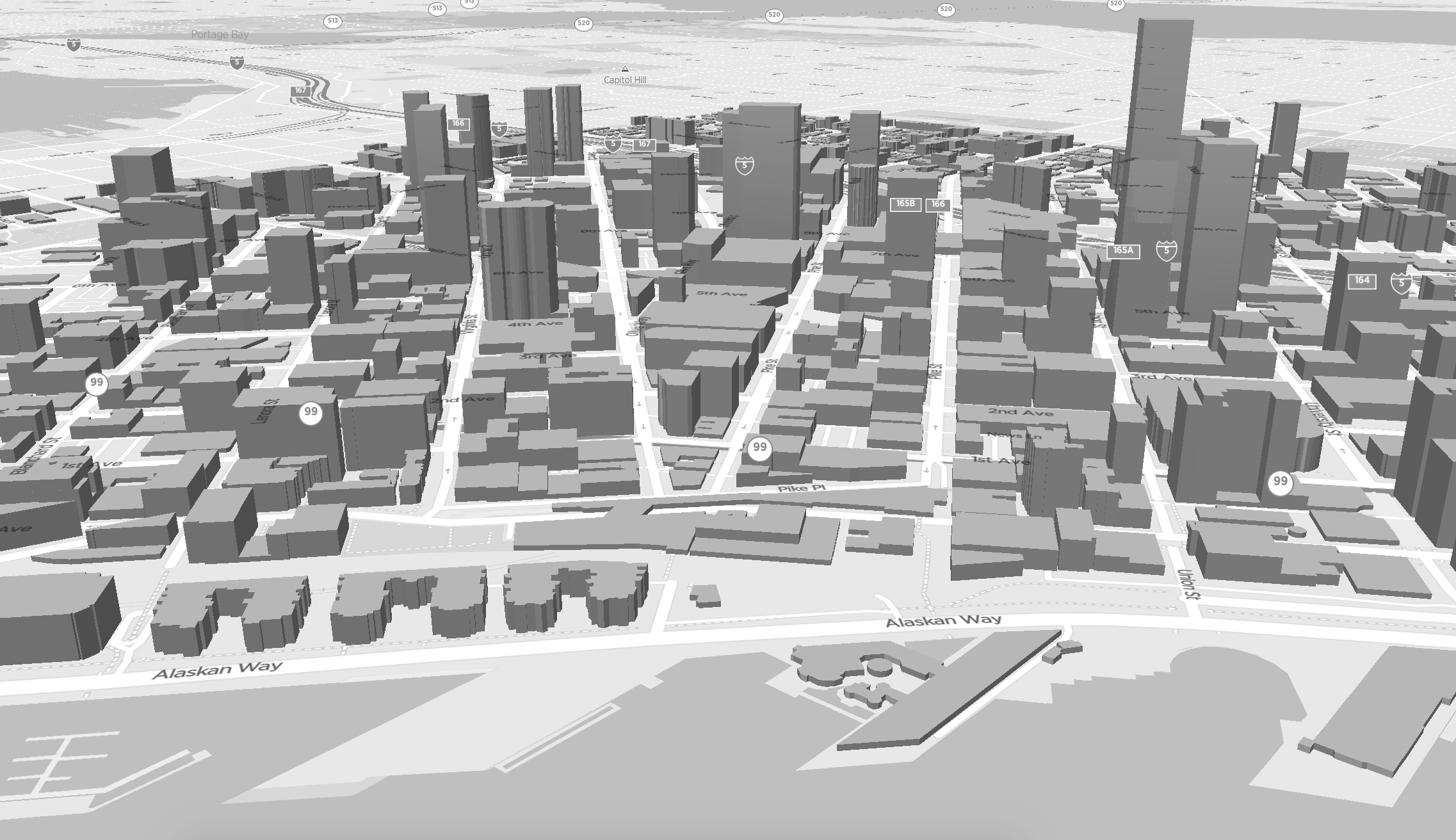
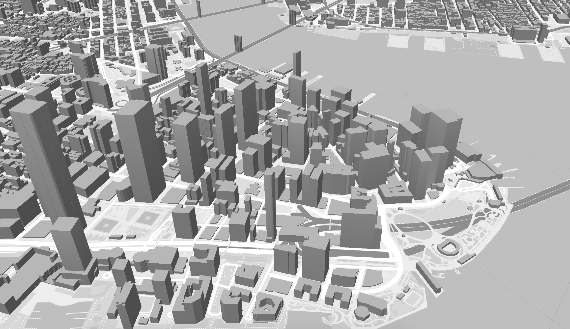
Base Map Styles
I created four different base map styles for Ankrom Moisan to use in marketing materials, both print and digital. To keep it simple, the options are: basic or 3D building maps, with or without labels. Only street names, city, and state have been included in the place labels to make it easier to overlay other information on top of the maps once exported. Click each image to preview the map in a new window.

Ankrom Moisan Top Project Heat Maps
I analyzed and cleaned up Ankrom’s vast project dataset, added and modified keywords to align with cross-platform functionality, and for the ability to filter project information in a number of different ways through Mapbox. This heatmap is featured under the contact information on the Ankrom Moisan website and centers on the three locations of the offices. The maps show Ankrom’s “Top Projects” and the heatmap changes as you zoom in and out to show the concentration of projects based on location.
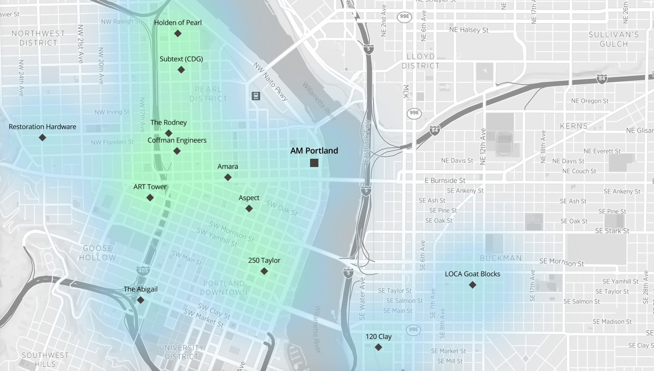
Ankrom Moisan Market Sector Cutsheets

Ankrom Moisan has a rich history of working in several markets for architecture, interior design, and urban planning. As part of the rebrand, we developed a suite of templates and tools available to all employees including these market sector cutsheets. They are an important tool for use in marketing materials and proposal submittals and are handy when a prospective client says “Tell me about your experience in the housing market.” This is a great example of how custom maps complete with a set of data can be used to quickly convey information without having to rewrite the book every time.

Because this dataset is already loaded into Mapbox, it’s a quick task if more specific information is needed - for instance to answer the question “What housing projects have you done that are in the affordable housing market?”